Lake Lafayette and St. Marks Regional Linear Park
Project Description
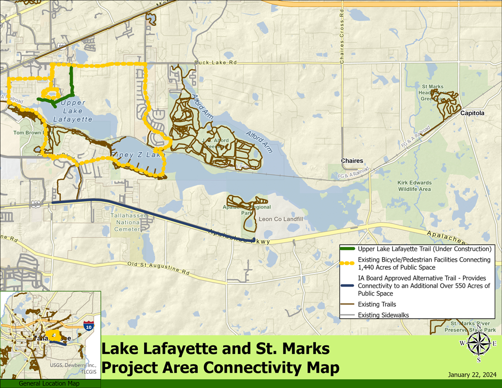
This project will connect 7,200 acres of public recreation lands east of Capital Circle Southeast.
The project goal includes key trail connections to area amenities, including Tom Brown Park, Lafayette Heritage Park, St. Marks Headwaters, and the Apalachee Regional Park.
Project Status
The Northwest Florida Water Management District (NWFWMD) is undertaking a FEMA Flood Study, which includes the Lake Lafayette project area. This study is in the data development phase.
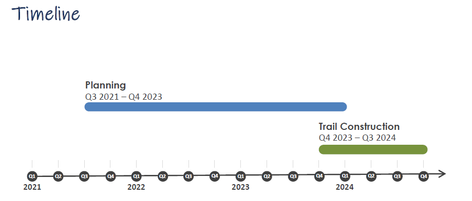
Blueprint has entered into a leveraging agreement for the design, permitting, and construction of the Upper Lake Lafayette Trail, as well as public parking and wayfinding signage. This leveraging opportunity with the Fallschase Development will connect the Buck Lake corridor to the recreational amenities in this area.
Project Manager
Sue Tanski
Staff Contact: (850) 219-1071
Susan.Tanski@Blueprintia.org
Stay Informed
To stay updated as the Lake Lafayette and St. Marks Regional Linear Park project progresses, please fill out and submit the form below to receive updates by email.
For more information or if you have questions, please email info@blueprintia.org


